
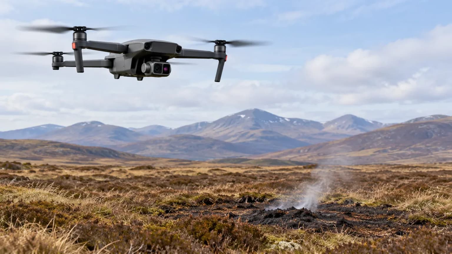
A wildfire can disappear from view without being fully extinguished. In Scotland’s Cairngorms, thermal drones have helped responders locate heat associated with a fire that continued burning in the ground after visible flames declined.
For readers following drones detecting underground fires in the Cairngorms, the central point is simple: an infrared camera identifies unusually warm surfaces that may reveal burning below. It does not see through earth. That distinction explains both the technology’s value and why firefighters still need to investigate on the ground.
What officials confirmed about the Cairngorms wildfire
Police Scotland says the wildfire was reported on July 15, 2026. The Cairngorms National Park Authority confirmed the following day that footage from its thermal drones was informing firefighting efforts near Ryvoan Bothy. At that stage, the cause and full extent of damage were unknown.
By July 27, the Scottish Fire and Rescue Service reported fewer visible flames but continuing smoldering areas and burning spots in the ground. These dated updates establish the operational problem behind drones detecting underground fires in the Cairngorms: a quieter landscape did not mean the response was finished.
The official July reports should not be mistaken for a live assessment of every affected location today. They confirm that underground burning complicated this incident, rather than providing a current map of remaining hotspots.
Why peat can keep burning beneath the surface
Peat consists of partially decomposed plant material accumulated in wet conditions. When sufficiently dry, that organic material can become fuel.
Smoldering differs from the fast, bright flames people associate with a wildfire. It is slower combustion that can persist within organic soil and produce smoke without a conspicuous flame front. Research by Imperial College London scientists examines how moisture, density and oxygen supply influence its downward spread.
This makes drones detecting underground fires in the Cairngorms relevant to a different stage of firefighting: finding persistent combustion after the most obvious fire activity has subsided.
The conditions below ground matter. A change in surface appearance cannot, by itself, establish whether buried fuel has stopped burning. Likewise, findings from one peat sample or landscape should not be treated as a universal prediction for every bog.
How thermal cameras reveal a hidden problem
Thermal infrared cameras register radiation associated with surface temperature. In suitable conditions, heat from buried combustion reaches the surface and creates a detectable contrast with nearby ground.
A 2019 pilot study published in the journal Drones demonstrated this principle using controlled buried fires in Indonesia. Researchers detected the resulting thermal signatures from a drone, while emphasizing the need for further investigation in real firefighting situations.
The evidence supports drones detecting underground fires in the Cairngorms as an application of an established research approach. It does not establish perfect detection in every terrain, weather condition or fire depth.
A thermal image also requires interpretation. Its bright colors are a display choice representing temperature differences; they are not a photograph of flames beneath the soil.
For drones detecting underground fires in the Cairngorms, the useful output is a location worth investigating, rather than a complete underground picture.
From a heat signal to a firefighting decision
Detection becomes valuable when it helps a response team decide where to concentrate attention. A useful way to understand the process is through three questions:
- Where is the unusual heat?
- Does investigation confirm active burning?
- What evidence shows that treatment worked?
This is an explanatory framework, not a published description of every procedure used during the Cairngorms incident.
Within that framework, drones detecting underground fires in the Cairngorms provide a way to narrow a search. Ground assessment establishes what is happening, while subsequent checks help assess whether the problem remains.
That division of work matters. Locating a hotspot and extinguishing it are separate achievements. A successful flight does not automatically make an area safe for visitors.
Why rain and fewer flames can be misleading
Water must reach the burning material to cool it effectively. Research described by Imperial College London explains that water can travel through larger channels in peat, bypassing nearby smoldering hotspots.
The researchers investigated a wetting agent to improve penetration, but laboratory findings should not be presented as evidence that the same treatment was used in Scotland.
For drones detecting underground fires in the Cairngorms, this helps explain why surface wetness is an incomplete measure of success. A damp-looking patch can still require assessment.
Imperial also describes how persistent peat combustion can later produce renewed flames. The implication is practical: disappearance of smoke or arrival of rain should not substitute for evidence that buried burning has ended. Imperial College London
A hypothetical example: two patches of scorched ground
Imagine a response team assessing two blackened patches after a wildfire. Both look similar in an ordinary photograph, but a thermal survey identifies unusual warmth in only one.
In this hypothetical example, drones detecting underground fires in the Cairngorms would help prioritize the warmer patch for investigation. That does not prove the other patch is free of buried fire; it simply supplies an additional clue.
After treatment, the team would want evidence that the identified heat problem had resolved. A record of where the signal appeared makes that question more specific than asking whether the entire landscape looks cooler.
The example illustrates decision support, not a documented event or guaranteed detection result.
What readers should ask about drone detection claims
Reports about drone technology for wildfire detection are more useful when they explain what was measured and what happened next.
When evaluating claims about drones detecting underground fires in the Cairngorms, look for:
- A dated survey, rather than undated imagery.
- Clear separation between suspected heat and confirmed combustion.
- An explanation of ground verification.
- Evidence of follow-up, rather than a single dramatic image.
- Acknowledgment that a controlled research trial differs from a large wildfire.
These questions help distinguish a promising tool from an overstated claim. Neither a colorful thermal image nor a successful laboratory demonstration establishes that every underground fire will be found.
Authorized drones and public drones have different roles
During the July response, Highland Council published a police request asking members of the public to avoid personal drone flights in the affected area. Helicopters were conducting water drops, and other aircraft could interfere with those operations.
The value of drones detecting underground fires in the Cairngorms therefore depends partly on coordination. An authorized survey contributes to the response; an unplanned flight can complicate it.
Visitors should check current park alerts and access guidance before traveling. July notices describe conditions during that emergency and should not be assumed to represent today’s restrictions. Anyone encountering a suspected fire should keep away and report it to emergency services rather than investigating the ground.
The wider lesson for wildfire monitoring
The Cairngorms response illustrates why wildfire management needs evidence beyond visible flames. The work of drones detecting underground fires in the Cairngorms adds information that ordinary photography may miss, while trained responders determine what that information means.
For US readers, the transferable lesson is about the process: identify possible hidden heat, verify it and assess the response. It is not a claim that Scottish operating conditions or equipment choices apply unchanged to American landscapes.
Ultimately, drones detecting underground fires in the Cairngorms show how aerial sensing can make a difficult search more focused. The next useful question is whether a detected hotspot was confirmed and successfully treated—because that is what turns an image into a meaningful firefighting result.